Introduction
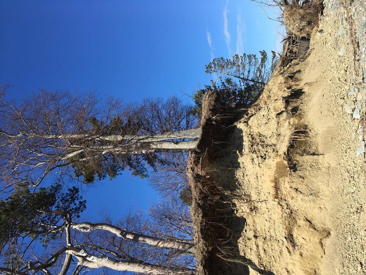
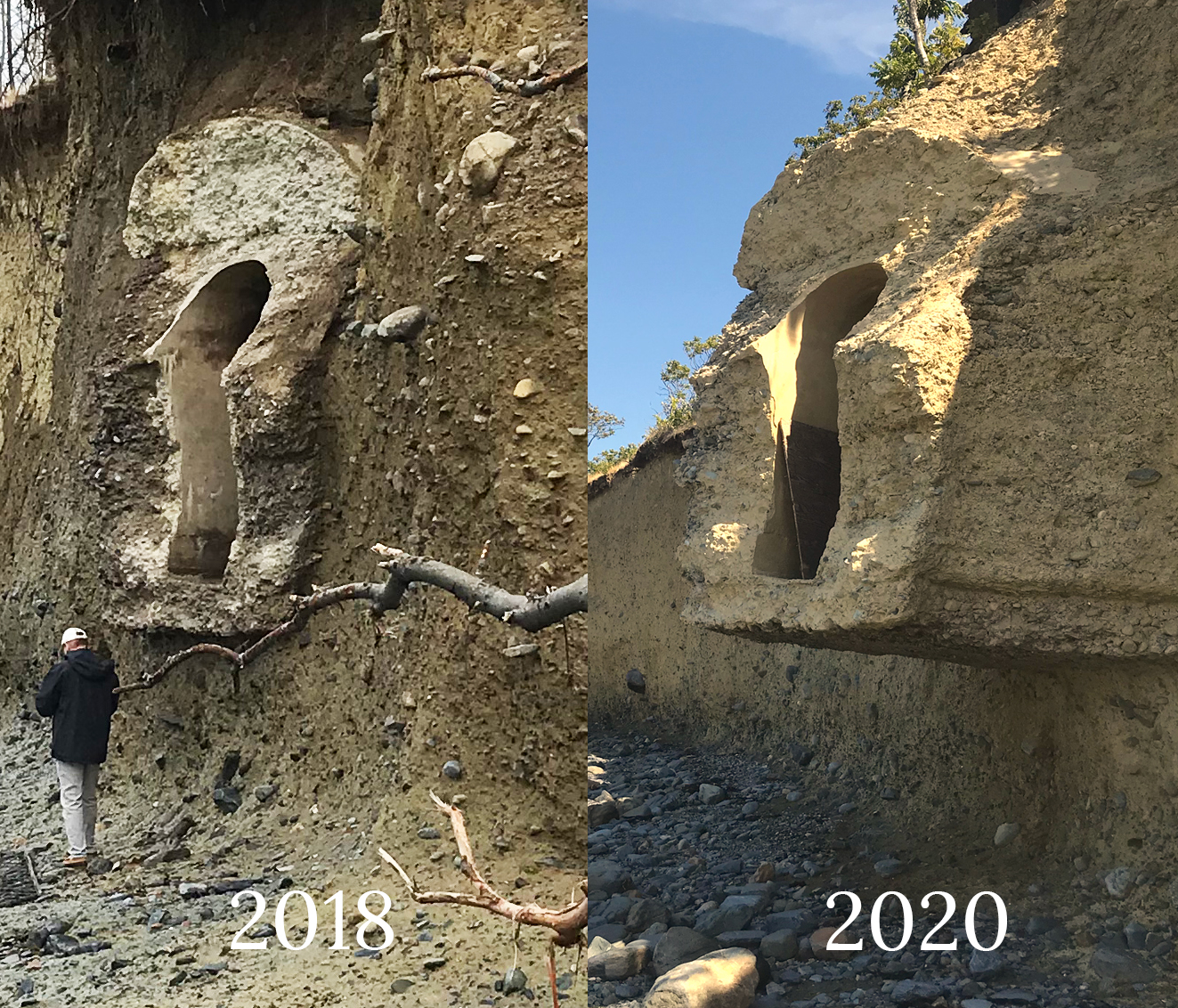
The Boston Harbor Islands is the most intact archaeological landscape in Boston with dozens of ancient Massachusett Native sites and historical archaeological sites. Erosion made worse by climate change is actively destroying this nationally-significant cultural landscape.
The Boston Harbor Islands Archaeological Climate Action Plan is a collaborative effort among Boston-area archaeologists, the Massachusett Tribe at Ponkapoag, and climate change experts to proactively address the loss of the cultural landscapes on the Boston Harbor Islands due to climate change.
The Challenge
There are dozens of known historical and ancient Native cultural archaeological sites on the Boston Harbor Islands. There are also many areas that have never been surveyed. Most of these sites are located along island shorelines.
Climate change is worsening erosion of the Islands in Boston Harbor due to increased storm severity, wave action, and flooding. Erosion is causing archaeological sites and cultural landscapes to fall into the harbor.
In 2022, the Boston Harbor Islands’ archaeological sites were listed as one of the 11 most endangered historic places by the National Trust for Historic Preservation.
While archaeological sites are sometimes protected from loss due to development or planned changes to the islands, there are no inherent protections of these sites from erosion.
Most archaeology done on the Islands have focused on ancient Native sites, though to date, there have been almost no projects on the Islands where local Native people were directly involved in the design, excavation, or collections management of archaeological projects.
Project Goals
- Combine existing erosional predictive models with archaeological site location data to determine which archaeological sites and unsurveyed areas on the Boston Harbor Islands are most at-risk of loss due to erosion
- Create a ranked list of archaeological mitigation priorities based on erosion threat and cultural significance (as determined by local Native People).
- Provide island managers with a detailed mitigation plan for each at-risk site including proposed scale/type of archaeological mitigation, estimated budget for mitigation, and methods for collaboration with Native People on Native sites.
- Evaluate field methods, laboratory methods, curation standards, terminology, and significance evaluation criteria with local Native People to decolonize archaeology
- Provide detailed methods for the project’s innovative assessment of erosion risk, collaborative archaeology, and community engagement that can be used as a model for similar projects throughout the world
- Seek additional funding to proactively survey the most at-risk sites on Boston Harbor before they are lost.
Determining the Erosional Rates of the Harbor Islands
The National Park Service through their Climate Change Response Program funded the Boston University Coastal Lab to assess erosion on the Harbor Islands.
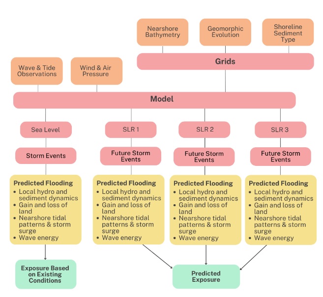
Using Ground-Penetrating Radar, field observations, GIS analysis, and hydrodynamic modeling, the BU team was able to create a predictive model of erosion rates for the Boston Harbor islands.
For more information on this project, visit their Project Webpage
Archaeological Collections Work
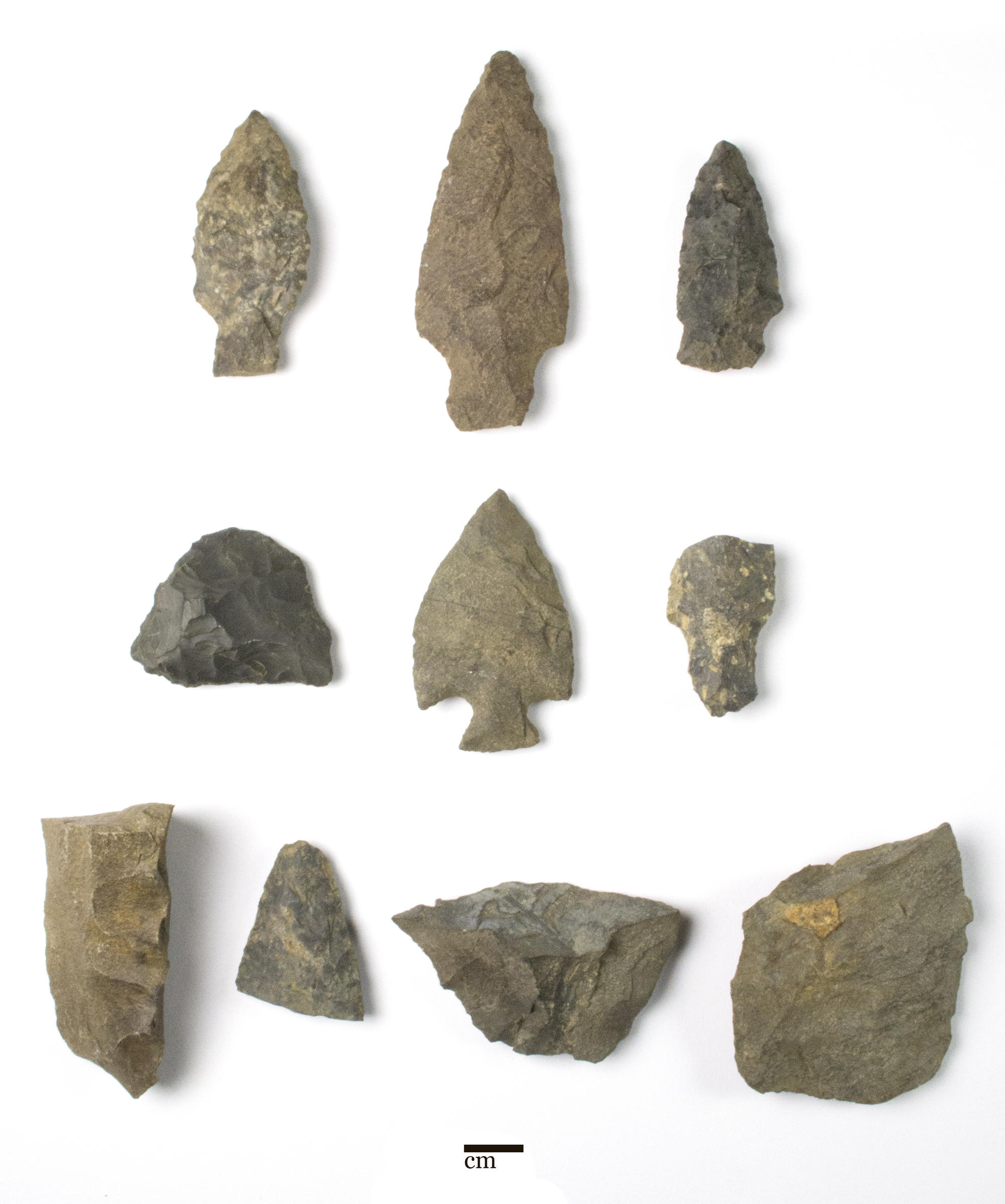
Decades of archaeological work on the Boston Harbor Islands has resulted in the recovery of thousands of Native creations and historical artifacts. Most of these projects occurred during the period when digital data, including detailed artifact catalogs, were not made. A team of archaeologists and Native people are actively engaged in the reexamination and cataloging of thousands of Boston Harbor Islands artifacts excavated by archaeologists led by Barbara Luedtke at the Fiske Center for Archaeological Research at UMass Boston. This detailed information on what has already been found on the islands will greatly improve our knowledge of the sites on the islands, and help the Native collaborators on this project determine which sites are of greatest significance. This project will also address what the best practices should be for Native creations that have been removed from their original locations.
Project Timeline
|
Initial Idea
2018 |
Initial Grant
March 2021 |
Creating Team
Spring 2023 |
Collections Processing
Summer 2023 |
Creating the Plan
Summer 2023-Spring 2024 |
Plan Review
Spring 2024 |
Plan Released
Spring 2024 |
Educating Partners
Spring 2024 |
Additional
Fundraising
2023-2024 |
Site Surveys
Summer 2024 and beyond |
Project Financial Support
The current Archaeological Climate Action Plan production and archaeological collections work are supported by generous grants from the Boston Community Preservation Committee.
The final Plan will produce dozens of individual site mitigation plans for the Boston Harbor Islands. The funds needed to conduct these surveys will be extensive.
If you are interested in financially supporting this project, please reach out to us at archaeology@boston.gov
Project Partners
Project Leadership
The following individuals are Co-Principal Investigators of the Boston Harbor Islands Archaeological Climate Action Plan
- Joseph Bagley, City Archaeologist of Boston (project contact person)
- Elizabeth Solomon, Massachusett Tribe at Ponkapoag
- Holly Herbster, Principal Investigator, The Public Archaeology Laboratory, Inc.
- Dr. Zoe Hughes, Geomorphologist, Boston University Department of Earth Sciences
The digitization of the Barbara Luedtke collections at UMass Boston are led by:
- Duncan Ritchie, Principal Investigator, The Public Archaeology Laboratory, Inc.
- Heather Olson, Laboratory Manager, The Public Archaeology Laboratory, Inc.
Project Advisors and Collaborators
- Melissa Hurtado, Archaeologist, National Park Service
- Amira Madison, Supporting Indigenous Communities Fellow, City of Boston
- Dr. Stephen Mrozowski, University Professor of Anthropology, College of Liberal Arts; Director, the Andrew Fiske Memorial Center for Archaeological Research, UMass Boston
- Dr. Catherine West, Research Associate Professor of Archaeology, Boston University
Archaeological Climate Action Plan Documents
COMING SOON: Boston Harbor Islands Archaeological Climate Action Plan (Public PDF)
Due to the need to protect sensitive archaeological site location data, the full Plan document is not available to the public. This public document includes all the information that is possible to share publicly, including methods and recommendations.
2023 Permit proposal to the Massachusetts Historical Commission for a State Archaeological Permit to conduct a reconnaissance archaeological survey of 25 Boston Harbor Islands (Islands) to assess the risk to archaeological sites and cultural spaces due to erosion caused by climate change

