Boylston Street (Jamaica Plain)
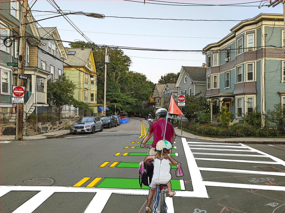
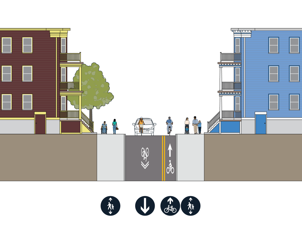
We will install a contraflow bike lane on Boylston Street in the eastbound direction from Centre Street to Lamartine Street.
Boylston Street provides a direct link between the Southwest Corridor Bike Path and Centre Street. A contraflow bike lane will provide an easy two-way connection for people biking while keeping the street one-way for westbound vehicle traffic. People biking westbound, with traffic, will use a shared lane with general traffic.
We also propose speed humps to encourage safer driving speeds. Because Boylston Street is quite narrow in some sections, we will need to make changes to where parking is allowed.
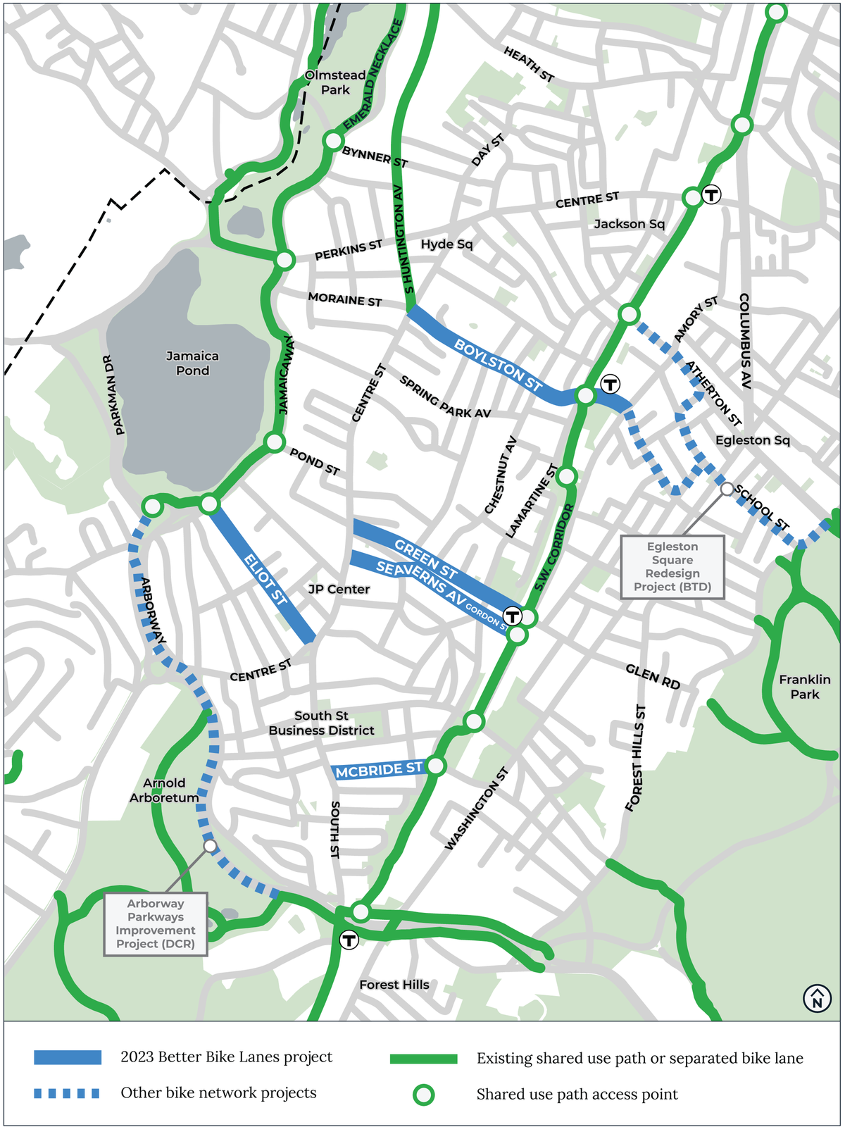
Together with South Huntington Avenue, Boylston Street will be part of a continuous two-way bicycle route between the Southwest Corridor Bike Path to the Emerald Necklace Path at Huntington Avenue.
Talk with us
EventsWhy Boylston Street
- Boylston Street is the only direct route between the Southwest Corridor, Centre Street, the new separated bike lane on South Huntington Avenue, and the Emerald Necklace. There’s no ramp to the Southwest Corridor bike path from Paul Gore Street. There’s no direct access to the Southwest Corridor bike path from Spring Park Ave, which ends at Chestnut Ave.
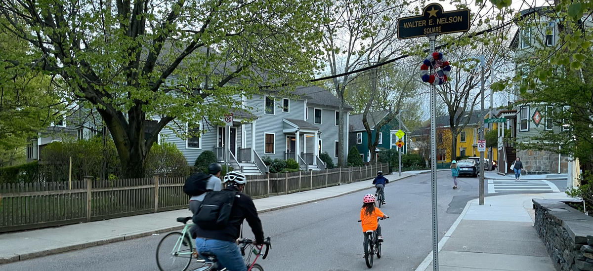
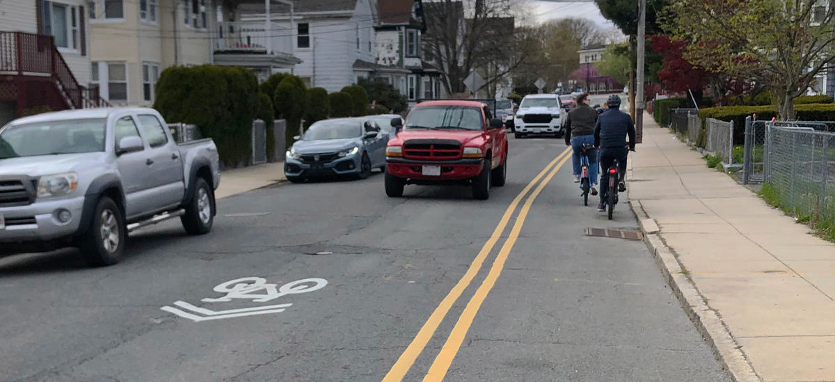
- People are already biking both ways on Boylston Street. 1 in 5 bicyclists ride contraflow near Danforth Street, the block approaching the Southwest Corridor.
- Vehicle volumes are moderate. We can make the street safer and more comfortable with speed humps.
Everyone in Boston deserves safe streets
This project is part of a bold plan for transforming Boston's streets to better serve people walking, rolling, and riding bikes. Over the next three years, we will expand our bike network so that 50% of residents will be a 3-minute walk from a safe and connected bike route.
Contraflow bike lanes
DIRECT ROUTES, BETTER ACCESS
One-way streets help manage the flow of vehicles. We might want to allow people to bike in both directions on one-way streets that:
- Provide access to a major destination, park, or trail access point, and/or,
- Help bicyclists avoid an obstacle, like a major hill or busy street with less comfortable biking conditions.
Contraflow bike lanes are a well-established design tool. They have seen decades of use around the U.S., the Boston area, and globally.
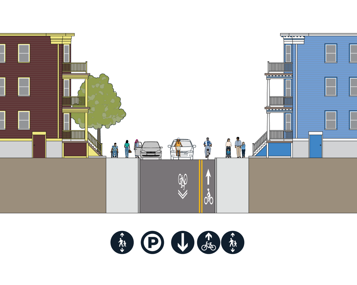
On moderate-volume streets like Boylston Street, we can add contraflow bike lanes with paint and signage. The lane is positioned so that bicyclists ride on the right side of the street in the direction they are traveling, just like on two-way streets.
Design proposal
View the design proposal (PDF 8.1 MB)
Typical Cross Sections
We plan to:
- Add speed humps on Boylston Street between Danforth Street and Centre Street. Our speed humps preserve emergency response times.
- Add a contraflow bike lane going eastbound (towards Amory Street). In the westbound direction (towards Centre Street), we'll add shared lane markings.
- Add signage on Boylston Street and side streets approaching Boylston Street indicating that two-way bike travel is allowed.
- Move parking to the north (right) side between the Chestnut Ave and Centre Street. Parking will stay on the north (right) side between Lamartine Street and Centre Street.
- Restrict parking between Adelaide Street and Belmore Terrace to provide space for a continuous bike lane. With this change, we expect 72% of the current parking capacity between Danforth and Centre Street to remain.*
* Parking changes are approximate and subject to change.
Neighborhood context
There are other bike lane projects happening in Jamaica Plain this year. These projects will help you to connect from the Southwest Corridor and Emerald Necklace paths to daily destinations on Centre Street, South Street, and points in between. Learn more about other projects in your neighborhood:
Project Updates
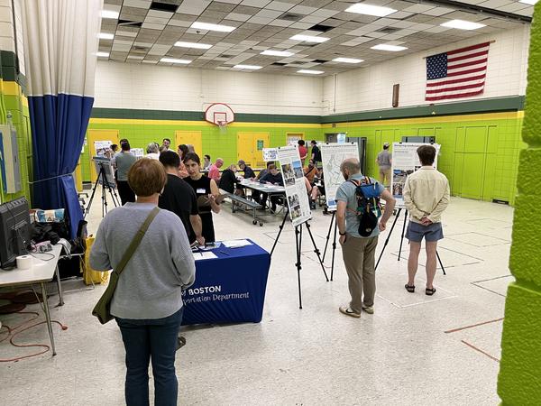
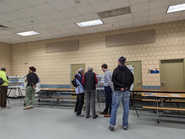
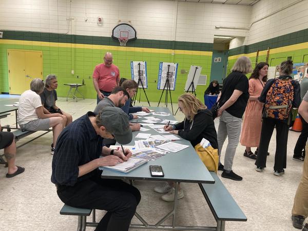
UpdatesWe hosted two open house meetings to share more information and hear your feedback about bike projects in Jamaica Plain. You were invited to drop in anytime between 6 and 8 p.m. Both open houses had the same content. We offered Spanish interpretation at both.
- Wednesday, May 3. Margarita Muniz Academy, 20 Child Street
- Thursday, May 11. Mary Curley School, 493 Centre Street
Thank you to everyone who attended and shared their thoughts with us. We look forward to continuing to work with you to get the details right.
We sent a follow up email to the project email list on May 16, 2023.
View the boards (English):
- We posted flyers on front doors on Boylston Street. We also posted flyers on light posts near Lamartine Street and Centre Street.
- We sent an email to the project list about upcoming in-person and virtual events.
- We hosted virtual office hours every other Wednesday. You shared your feedback on Better Bike Lanes projects. We also corresponded with you via email.
- We posted flyers on front doors on Boylston Street. We also posted flyers on light posts near Lamartine Street and Centre Street.
- We mailed 1,248 postcards to households on Boylston Street and the blocks nearby.
- We hosted virtual office hours every other Wednesday. You shared your feedback on Better Bike Lanes projects. We also corresponded with you via email.
- We hosted virtual office hours every other Wednesday. You shared your feedback on Better Bike Lanes projects. We also corresponded with you via email.
- We began planning for spring and summer 2023 outreach and community conversations.
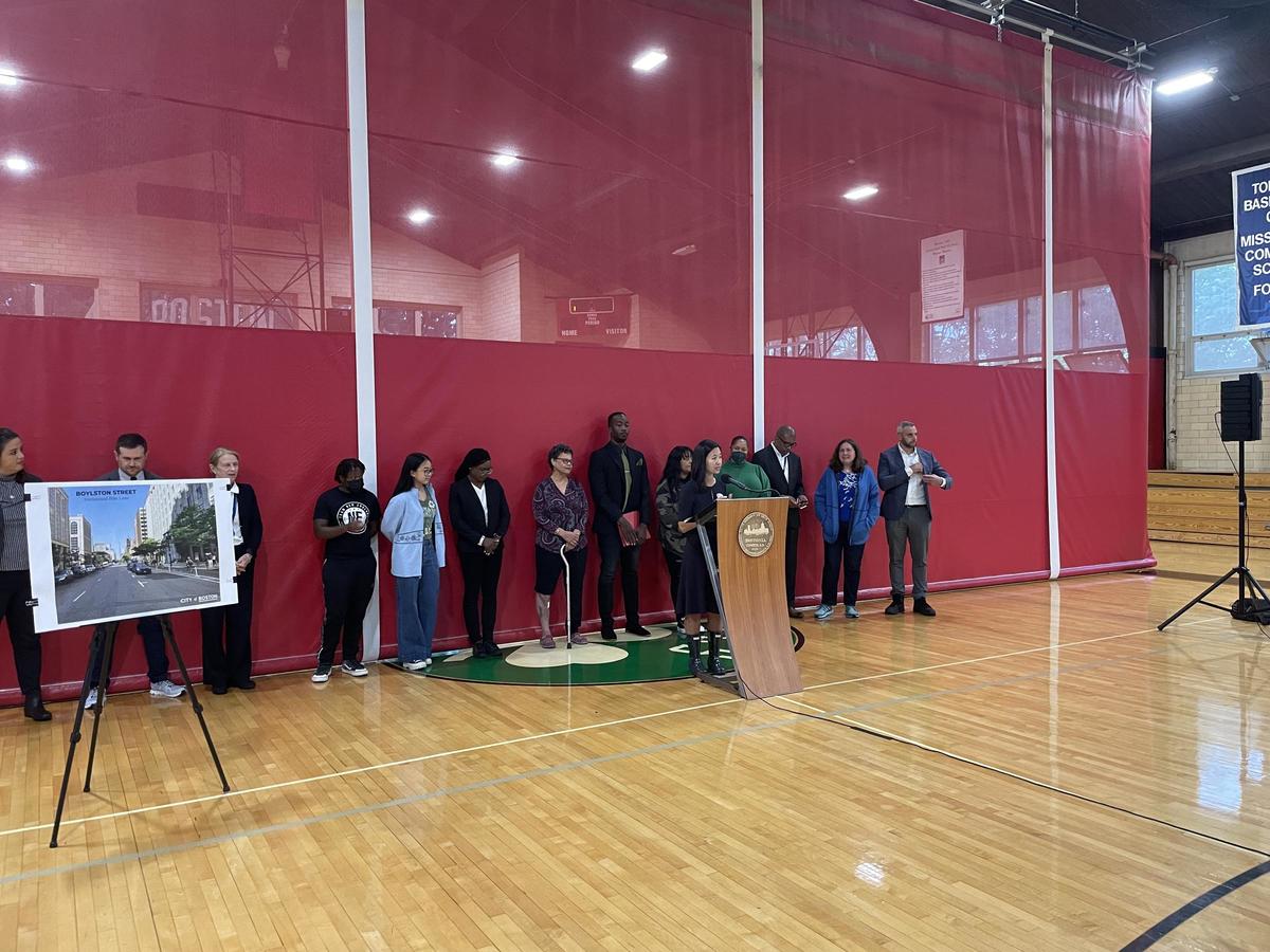
To build on her commitment to create safe streets for all modes of transportation, Mayor Michelle Wu and the Boston Transportation Department (BTD) announced a 9.4 mile expansion of bike lanes providing key connections within the City’s existing bike network and the launch of a Citywide design process to bring safer streets to every neighborhood. To do this, Boston is expanding Bluebikes to accommodate rising demand, designing traffic-calmed streets by building speed humps and raised crosswalks, and hiring more staff to aid in the design process.
The announcement was covered by local news outlets.


